Platform for Social Development
and Innovation
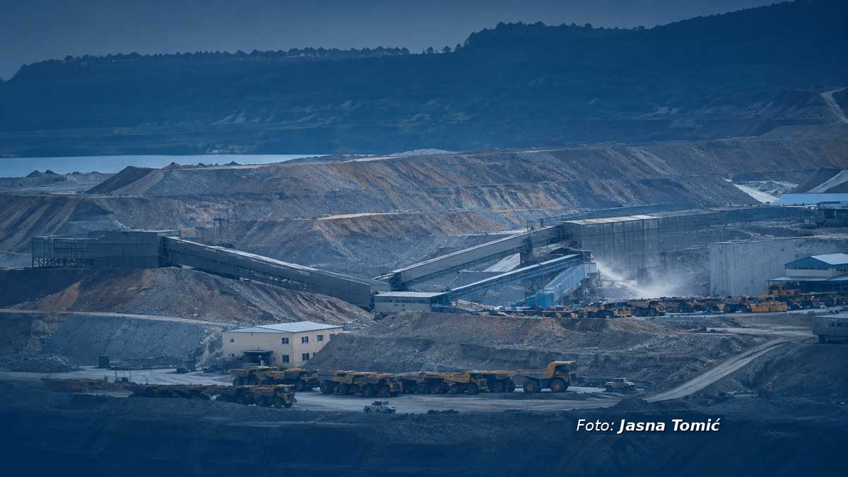
Spatial plan on hold as mines expand: How is mining being planned in the Bor District?
Aleksa Matović
In 2014, the state initiated the preparation of the Spatial Plan for the Special-Purpose Area (PPPPN) of the Bor-Majdanpek mining basin, which was intended to cover the entire territories of Bor and Majdanpek and align mining development with other economic activities. More than a decade later, the plan has still not been adopted. Meanwhile, spatial planning has proceeded piecemeal. Instead of a single plan that would establish a long-term framework for the development of the entire basin, separate special-purpose spatial plans are being adopted for individual mining projects. Rather than guiding mining development, this approach increasingly follows the pace of exploration and the needs of investors.
The question today is not just whether this overarching plan will ever be adopted, but what will remain of it if it is?
From a plan for the entire basin to plans for individual mines
While the basin-wide plan for Bor-Majdanpek remains pending, the state continues to adopt special-purpose spatial plans for individual mining projects.
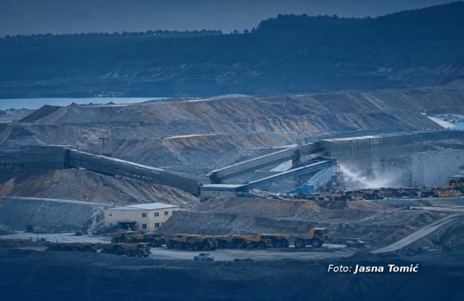
The first such example is the "Čukaru Peki" mine. The decision to prepare its spatial plan was adopted in 2017, and the plan was adopted in early 2020. It covered 4,503.52 hectares within the administrative area of Bor, where work on the integrated plan had already begun in 2014. One mining project thus gained its own planning framework, while the plan intended to guide development across the entire basin remained unfinished.
The process did not stop there. In June 2026, the Government adopted a new decision to prepare a PPPPN for the mining and metallurgical complex "Čukaru Peki" and "Malka Golaja". The proposed plan includes areas already covered in the 2020 plan for "Čukaru Peki", but also extends into new areas, including the cadastral municipalities of Nikoličevo and Zvezdan within the city of Zaječar. This extends planning beyond the territorial boundaries of the originally envisaged Bor–Majdanpek plan.
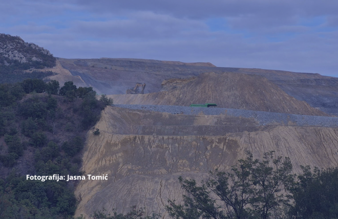
Just two months later, in August 2026, another decision was adopted, this time to prepare a PPPPN for the "Jama Bor" mine, specifically for the second phase of its development. The new plan will cover parts of the cadastral municipalities of Bor I, Bor II and Oštrelj, and envisages the construction of new mining infrastructure, flotation facilities and associated structures.
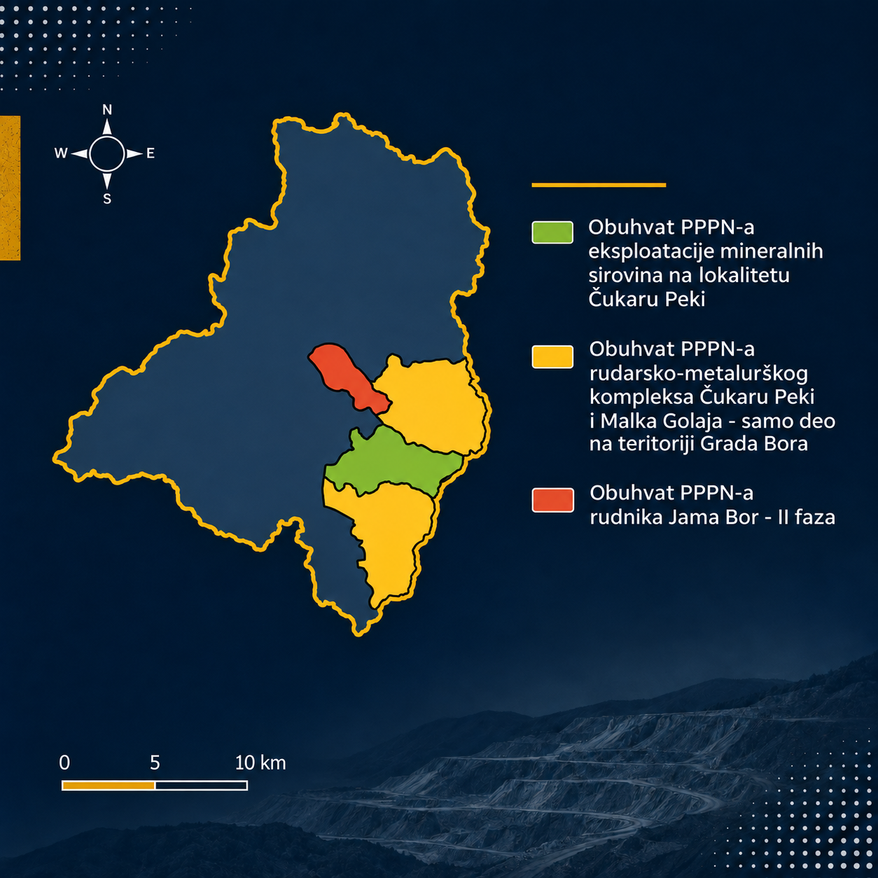
In parallel, in April 2026, the state also amended the decision on preparing the integrated plan for the Bor-Majdanpek mining basin, providing that its preparation would be financed entirely by Serbia Zijin Copper. Thus, even as efforts continue to adopt a plan for the entire basin, planning for individual mining complexes proceeds in parallel.
The problem lies not only in the number of plans, but also in how they relate to one another. If land use is planned separately for each new mining project, who is assessing the overall impacts of their development on the environment, settlements and other land uses, and how?
Numbers that don't lie
To understand why an integrated plan is important, we need to look at the scale of geological exploration and mineral extraction across the basin. The total area of Bor and Majdanpek is about 1,788 square kilometers. This is the territory for which a common framework to coordinate mining development with other land uses should have been established as early as 2014.
However, according to data published on the website of the Ministry of Mining and Energy, there are already 11 active exploitation fields in this area, occupying a total of 126.78 square kilometers. The three largest fields alone-Majdanpek (54.02 km²), Veliki Krivelj (39.20 km²) and Čukaru Peki (16.66 km²) occupy significant areas of this territory.
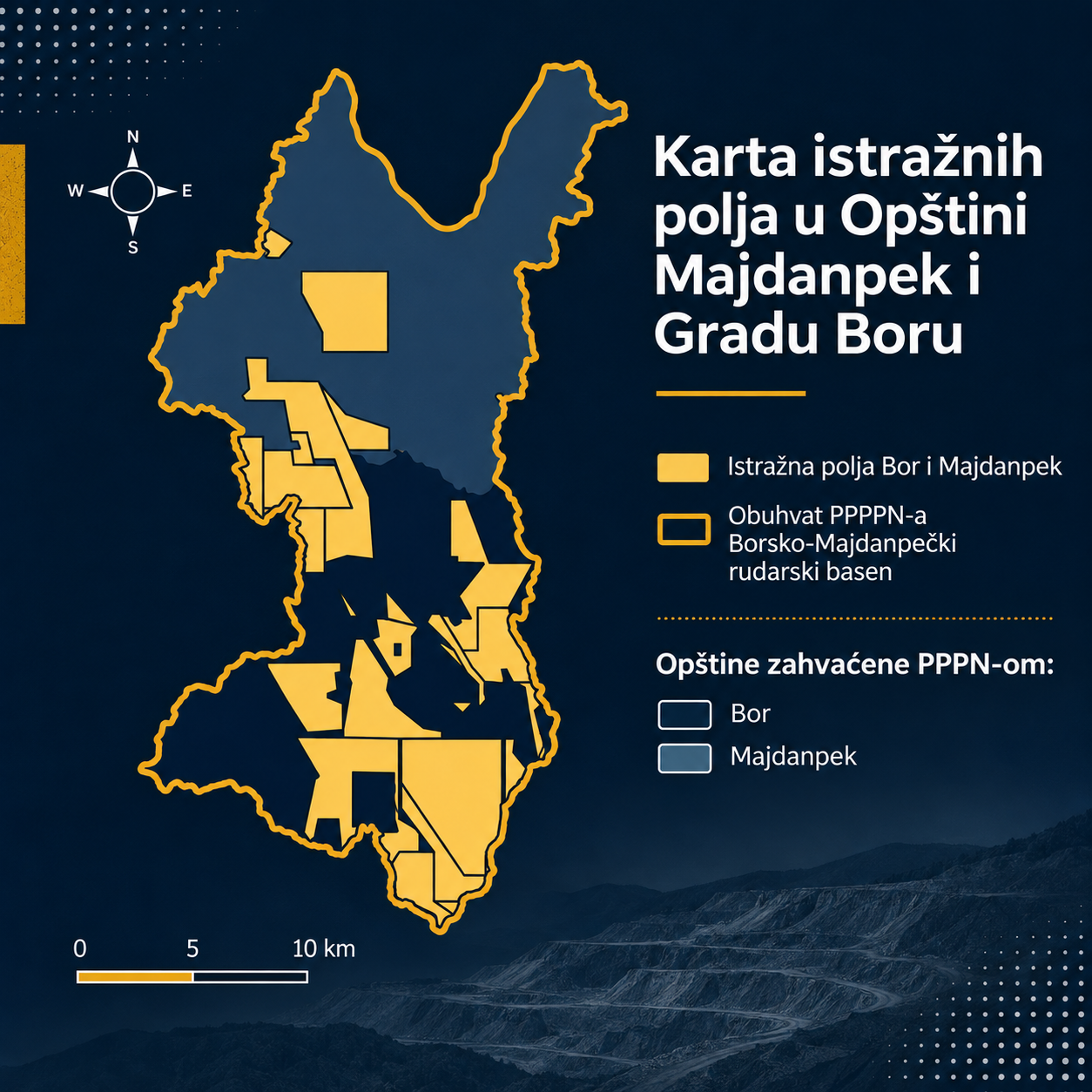
The scale of land covered by mining-related rights becomes even clearer when exploration fields are taken into account. According to data published by the Ministry of Mining and Energy, as many as 28 active exploration fields are registered across these two local government areas, covering 565.85 square kilometers. Exploration fields such as Brestovac–Metovnica (85.24 km²) and Jasikovo–Durlan Potok (64.61 km²) are several times larger than entire urban areas.
Maps of the exploration fields show that they extend across large parts of the basin, with some fields adjoining one another.
The plan as a facade
Adding these figures together - 126.78 km² covered by exploitation fields and 565.85 km² by exploration fields, gives a total of 692.63 km². Although exploration fields do not automatically lead to future exploitation, the very fact that corporate interests hold rights over these areas seriously limits the state's scope for alternative, sustainable planning and development in the area.
Measured against the area covered by the plan envisaged in 2014, the figures are stark: 39% (38.74%, to be precise) of the total territory of Bor and Majdanpek is already covered by mining polygons. When almost two-fifths of the territory is excluded from other forms of development, the idea of "balancing" mining through spatial planning becomes a mere illusion.
The large number of exploration and exploitation fields raises an even more important question: how can development across the entire basin be planned when decisions on individual mining projects are being made, while the plan that should provide a comprehensive picture has not yet been adopted? Without such a plan, it is difficult to assess the cumulative impacts of existing and future projects on the environment, settlements and infrastructure, or to evaluate how mining development can be reconciled with other needs and land uses.
Planning lags behind mining
Whether the integrated PPPPN for the Bor–Majdanpek basin will materialize at all, and what will remain of it if it does, depends on whether it genuinely establishes a common framework for the development of the entire area or is reduced to reconciling planning solutions already adopted for individual mining projects.
In this case, spatial planning has been reduced from its role as a sovereign guardian of the public good to a mere administrative service tasked with handling the technical details of corporate agendas. Ultimately, the fate of the Bor–Majdanpek basin lays bare that the real spatial plan for eastern Serbia is no longer drawn up by the competent institutions or grounded in the legal hierarchy. Today, it is dictated, decisively and without compromise, by the cartography of capital: boundaries expand from one borehole to the next, encompassing one cadastral municipality after another and threatening to make the boundaries of mining complexes coincide with those of the region itself.